'WATer' and 'SANitation'
The WATSAN Data Observatory provides a repository of knowledge resources focused on water, sanitation and hygiene management and SDG localization in small urban towns.

3 Domains
The WATSAN data observatory provides insights from case studies and project pilots focused on Small Towns, pertaining to the three domains of Water Supply, Liquid Waste Management and Solid Waste Management
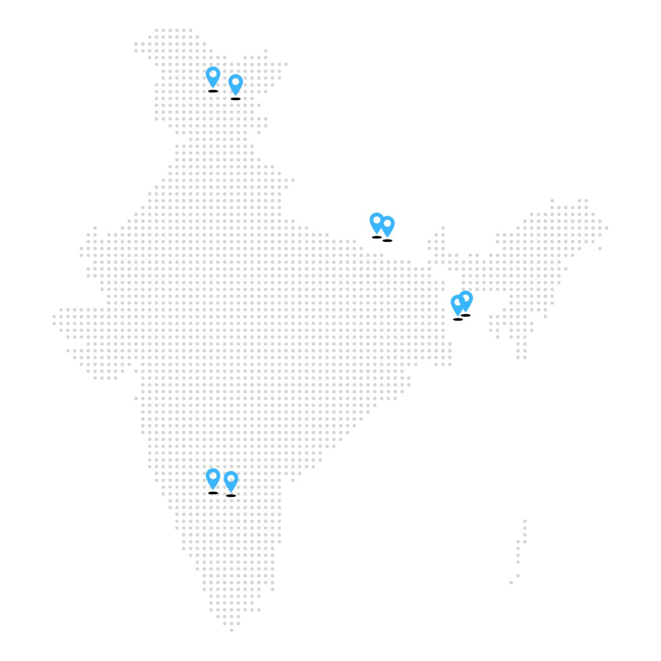
At a Glance
Kushtia
Kushtia is a district in the Khulna administrative division of western Bangladesh. It is a medieval township. From the Mughal period this area has developed as a trade centre because of its geographical location. Railway connection with Kolkata, the then Capital of British India and waterway facilities through the Padma River has further facilitated Kushtia to grow as an alluring location for mills and factories. The town developed based on these industries and trades associated with these industries. Considering its extensive growth, Kushtia Municipality was established on April 1, 1869 under the Municipal Act, 1868. Since then, this municipality has developed, and it has the potential to develop further not only as an administrative centre but also as an economically vibrant area housing substantial urban population of the country
Chikkaballapur
The town of Chikkaballapur is a city municipal council serving as the district headquarters of the newly created Chikkaballapur district. It is located 56 km from north of Bengaluru. With a population of 63,652, this town can provide a lens for localizing sustainable development goals for peri-urban development in the context of India.
Chintamani
Chintamani is a city in Chintamani Taluk of Chikkaballapur district, Karnataka, India. The city lies between 13.400ºN and 78.066ºE with an average elevation of 865 m (2838 ft). It is located 38.3 km towards the east of the district headquarters Chikkaballapur. Chintamani City is a City Municipal Council (population falling under 50,000 to 3 lakh) and the administrative boundary is spread over an area of 15.01 sq. km divided into 31 wards. The city has a population of 76,068 as per a report released by Census India 2011. The projected population in the year 2021 is estimated to be 88,000.
Godavari
The town of Godawari is a Municipality located in Lalitpur District in Bagmati Province of Nepal. The municipality was established in 2017 by merging the 12 surrounding villages and currently has a population of 1,16,045 residents. The town is a popular hiking destination and is spread over an area of 96.11 sq. km, divided into 14 wards, with nearly half the area covered under agricultural land and forest.
Kargil
The town of Kargil is one of the two hilly towns from the region of Ladakh that is featured in the WATSAN Data Observatory. It serves as the headquarters of the Kargil district and is the joint capital for the union territory of Ladakh in India. With only a population of 17,122, the town of Kargil has witnessed significant growth with the reconstitution of the Kargil municipal committee area and through improving social conditions and reduced outmigration caused by the 1999 Kargil War. In the context of the small town urban agenda, Kargil provides a unique perspective to gauge and demonstrate urban development in the context of hilly urban settlements in extreme weather conditions.
Kirtipur
Kirtipur is an ancient city of Nepal, located in the Kathmandu District, Bagmati Province, Nepal and is located 5 km south-west of Kathmandu City. Kirtipur Municipality was established in 1997 AD (2053 B.S in the Nepali calendar) by merging the 8 former Village Development Committees (VDCs). The municipality is sub-divided into 10 administrative wards covering an area of 14.76 sq. km and encompasses a total population of 65602 residing in 19441 households. There are no notified slums present within the municipality, although there are a few poor settlements present in some wards.
Leh
The Union Territory (UT) of Ladakh was formed in 2019 and has two districts, Leh and Kargil. Leh district and its main town share the same name. Leh town is in the trans-Himalayas at coordinates 34.16 °N 77.58 °E. Leh town is one of the largest towns located above an altitude of 3500 meters. The town has an altitude of 3,310 m in the south and 3,915 m in the north. Leh has a cold desert climate. During winter (November to April), average minimum temperatures drop as low as -15 °C (record low of -28.3 °C) and there is occasional snowfall, although it is sunny on most days. The average annual rainfall is only 102mm. Leh is connected via National Highway 1 to Srinagar in the southwest and Manali in the south via the Leh-Manali Highway. These roads are open only from May-November, but local roads remain open throughout the year. Leh Kushok Bakula Rinpochee Airport has flights to Delhi, Srinagar, Jammu and Mumbai
Savar
Savar Municipality is situated under the Savar Upazilla of Dhaka District in the Division of Dhaka. It is located about 24 kilometers to the northwest of Dhaka city. Savar Municipality was established in 1992. The municipality lies between 23°44' and 24°02' N latitude and 90°11' and 90°22' E longitude. It has an area of 14.08 km2. The Savar Pourashava is bounded by Kaliakair and Gazipur Sadar Upazilla on the north, Keranigonj Upazilla on the south, Dhaka City on the east and Dhamrai and Singair Upazilla on the west. The Savar Pourashava is situated on the bank of the river of Bangshi.

SDG Dashboard
The SDG Dashboard provides a localized account of the SDG indicators relevant to Water, Sanitation & Hygiene (WASH) indicators for the 8 pilot towns that have been selected for the monitoring and evaluation of specific development interventions. It provides a lens for practitioners and decision makers to reflect on how SDGs can be localized in the context of small Indian towns.
Work on Small Town
Urban Agenda
8 towns have been selected from across India, Nepal and Bangladesh for evaluating the urban systems and their systemic operations.
