
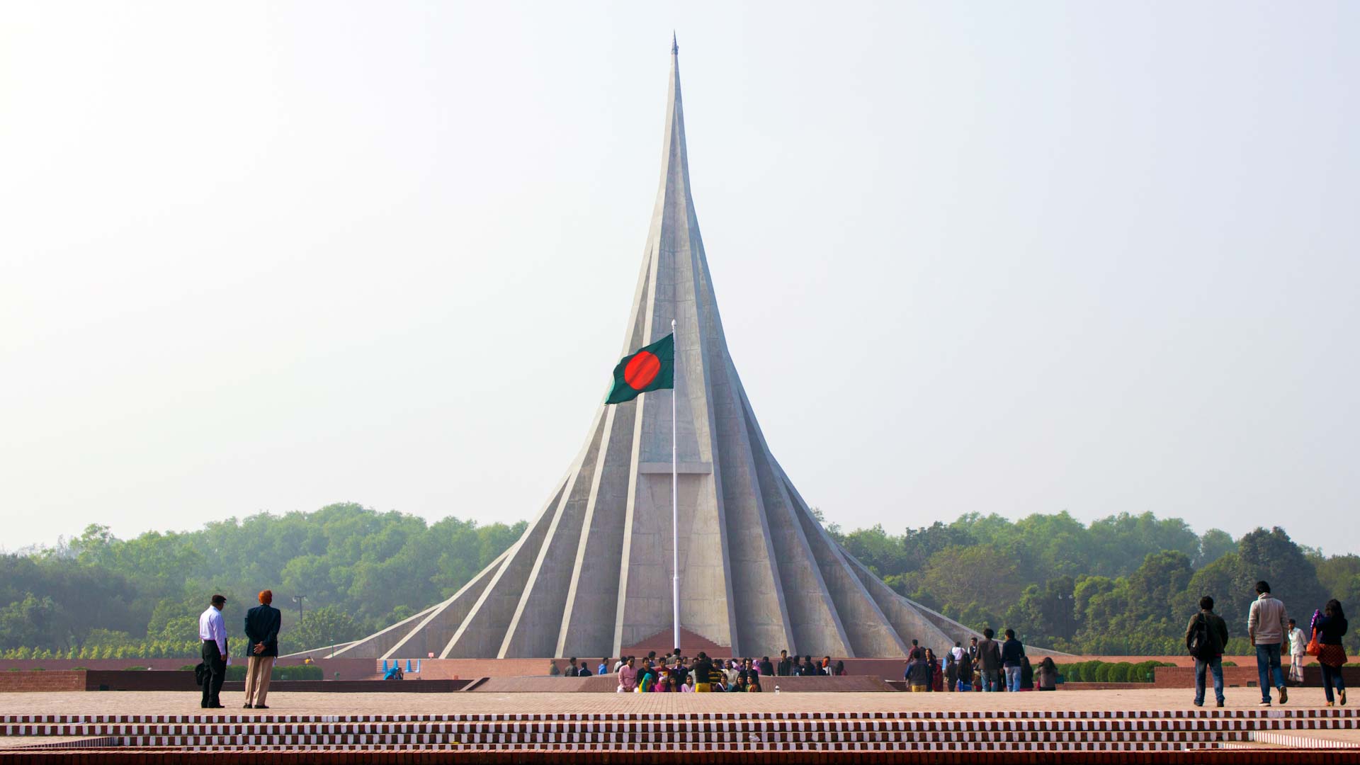
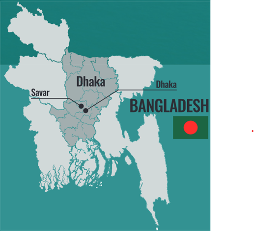
Savar
Savar Municipality is situated under the Savar Upazilla of Dhaka District in the Division of Dhaka. It is located about 24 kilometers to the northwest of Dhaka city. Savar Municipality was established in 1992. The municipality lies between 23°44' and 24°02' N latitude and 90°11' and 90°22' E longitude. It has an area of 14.08 km2. The Savar Pourashava is bounded by Kaliakair and Gazipur Sadar Upazilla on the north, Keranigonj Upazilla on the south, Dhaka City on the east and Dhamrai and Singair Upazilla on the west. The Savar Pourashava is situated on the bank of the river of Bangshi.
Savar

Area (SqKm)
14.08

Density (Person/Sqkm)
47,278 (very high due to estimated population)
No. Wards
9

Population(Year)
6,65,687 (2021- estimate)

Slum population
4.4%
There is no piped water supply in Savar Municipality area. The residents of the town are using individual tube wells and electric water pumps to lift water. There are 300 shallow tube

Based on the population of the town, it is estimated that 46,598 KLof faecal sludge is generated per year. There is no network-based sanitation system in the Savar Paurashava. At present, pit latrine

The Municipality has a Door to Door collection system covering 45% of the households. Through this system Municipality is able to collect only 36% of the generated waste. Rest of the household solid w
Gallery


